
The text and questions herein are part of my research in northern Namibia (Owamboland) towards a Doctorate in Spatial Science at the Namibia University of Science and Technology’s Department of Architecture and Spatial Planning. This research investigates urban development processes against local practices at the nexus of urban and communal land.
There was little to no specific interest on the spatial development in northern Namibia towns, how they could be responsive to existing practices, and how existing practices could be integrated into urban development and planning processes.
This is primarily because these were merely sites for colonial administration of surrounding communal lands (rural land which is under the custodianship of traditional authorities) for the Apartheid South African government.
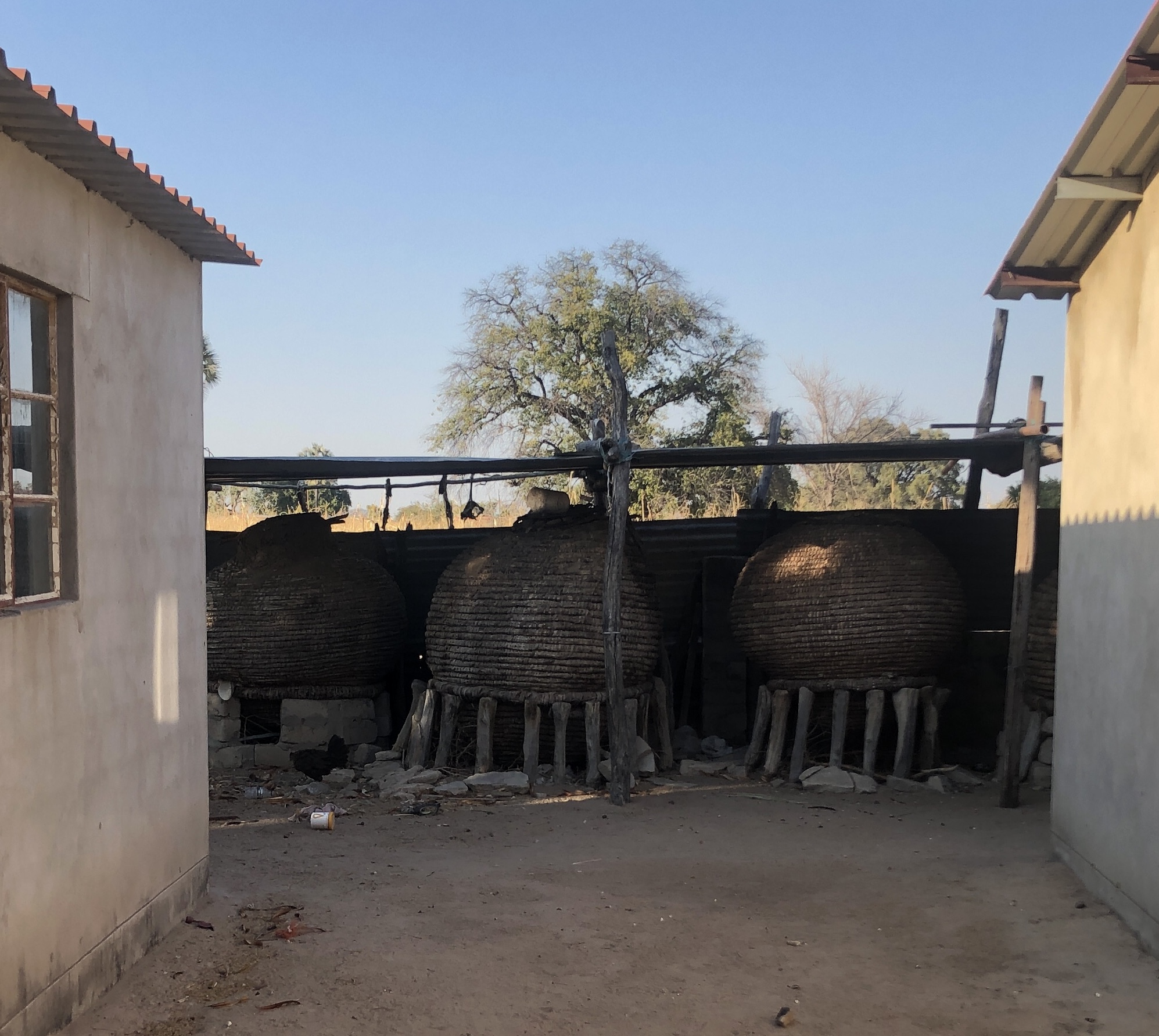
The legacy lives on and today as there are no qualitative spatial and socio-technical processes employed to integrate these spaces into planning models and policies, at the nexus of urban and communal land, nor is there research to understand the practices and domesticity of these spaces at this nexus. Local spatial typologies and practices within communal lands still exist in many areas, and the Owambo homestead is one such typology.

The Owambo homestead has had its spatial structure and the practices within it transform due to many factors ranging from the characteristics of the natural environment to the introduction of western religion, and people’s desire to modernize. An easily observable difference between the traditional home in communal land and the urban home model is that whereas the urban home separates the functions of work from dwelling, the traditional homestead is very much a part of its enterprise, the maize field.

There are customary spatial practices, and spaces which have been resilient and are still an identifiable part of the Owambo homestead, its practices, and the how the communal layer of these homesteads work.
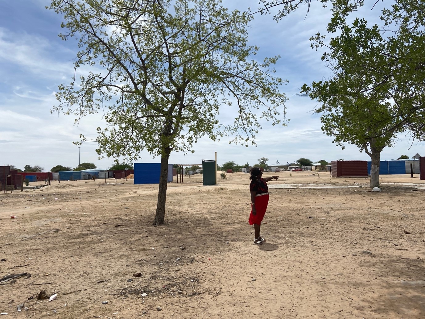
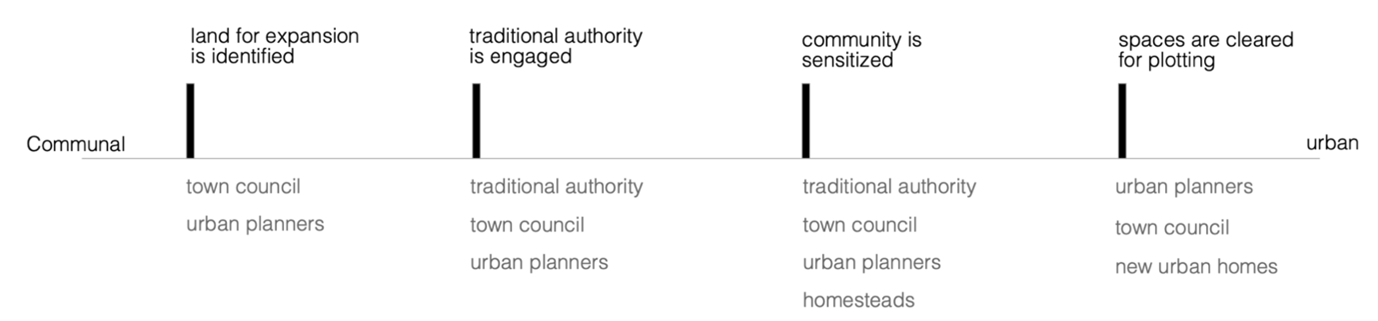
There are also modern urban planning processes, guidelines, and underlying perceptions that relate to forms of ownership, space use guidelines, as well as general urban lifestyle which directly affect the continuation and assimilation of the communal homestead and its domesticity. The encounter of this typology with contemporary urban planning practice in northern Namibia at the nexus of communal and urban land is a largely technocratic endevour which compensates homesteads to either relocate, or conform to the ‘urban standard’ as per the existing Compensation Policy Guideline for Communal Land.
The policy aims to place the claimant in as near as possible to the same position as he or she was before the ‘acquisition’ or ‘displacement’. This however, is measured only from a financial point of view. In addition, the entire policy defines the homestead by its physical infrastructure only, whereas on the ground, the homestead is as much the people in it and their relationships, and the community of homesteads (cluster) based on customary practices, as it is the physical infrastructure. Homestead heads have the option to be compensated to move to another area of communal land, or to transform the homestead to the ‘urban standard’. This eliminates much of the spaces in the homestead, which coincide with the social relationship and roles that other inhabitants play in the homestead. For example: there are specific labour relationships reliant on the existence of a field. These inhabitants are a part of the homestead and share the yield (and housing). Once the field is removed from the house, they often move away because continuing to accommodate them becomes too expensive as the homestead no longer relies on subsistence farming.
This outcome also subjects what is left of the homestead to new rates and taxes applicable to living in the urban area. Often, there are no formally employed people in the homestead to transform it, and many homesteads opt to relocate, thus trying to reestablish the homestead with less social and economic resources.
The major questions we are left with are:
Who within the homestead is entitled to the compensation for the land the homestead sits on?
How does the compensation leave the homestead in a strong enough position socio-economically?
Is this basically a form of government endorsed displacement?
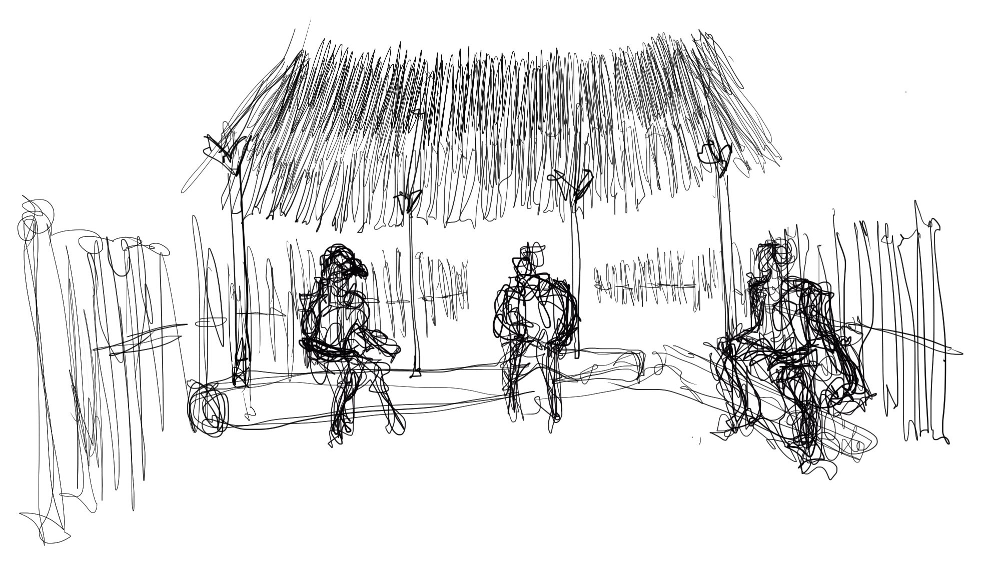
Based on local socio-spatial practices, the homestead is more than a base for one immediate family or family head. It houses many people (often around 15 to 25 people), and it is a node in a self-sustaining network of customary practices which include housing other extended family for the purpose of cultivating, access to schooling, and even rest spaces for people tracking with cattle as part of subsistence farming.
This reality is a call for us to interrogate urban development practices at the urban rural nexus. These sites are complex, and local practices have been relied on for many years to provide housing, social networks, and survival. Urban planners and policy makers have to work in a manner which is responsive to this local reality and do away with supplanting everything on the ground to achieve Neo liberal development agendas too far removed from those who are on the ground at these sites.

Leave a comment